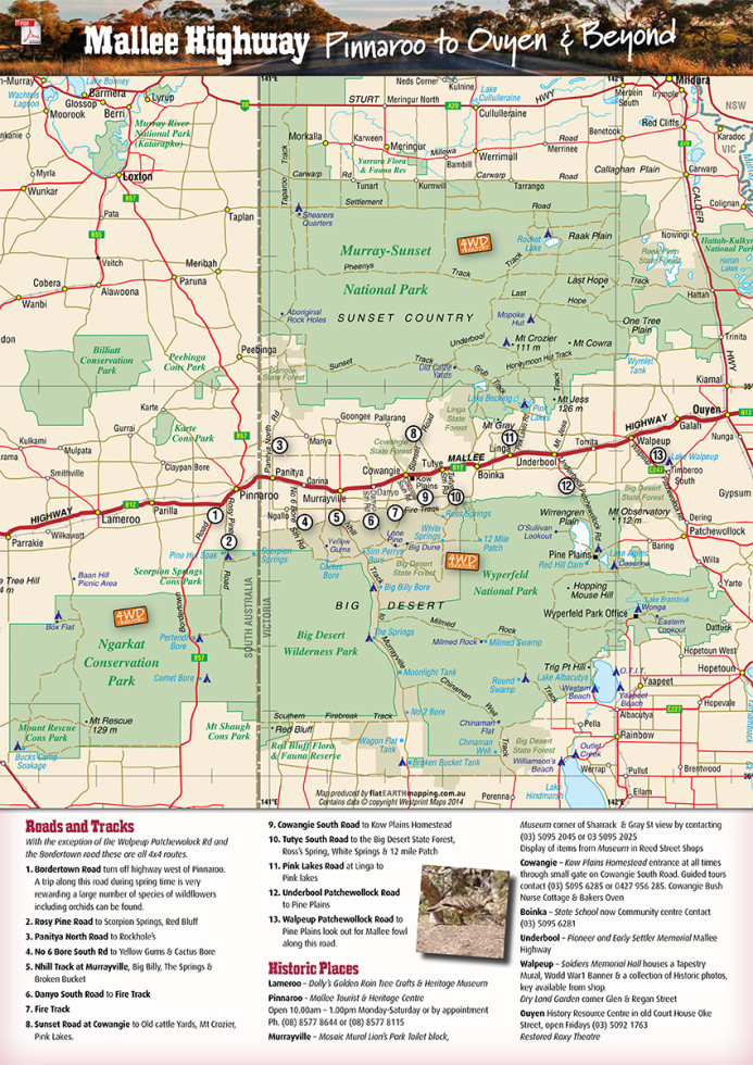
The Mallee Region
Explorers and squatters disliked the mallee because it contained very little water or grass for stock. Therefore, the land in the Murray Mallee region with access to the Murray River floodplain was first used for sheep grazing. In the 1870s, instead of viewing the Mallee as useless because it could not support a small intensive European farm, it took on enormous value when considered as an extensive farming system for cereal crops.
Large scale Mallee vegetation clearance schemes rapidly followed. Charles Mullens developed a crude but effective technique for cleaning extensive areas of mallee scrub for wheat growing. This enabled mallee land to be profitably utilised by greatly reducing the expense of clearing. In 1913/14, the completion of railway lines led to the main period of settlement in the Murray Mallee region. The 1920s were the major period of vegetation clearing and development, and wheat growing was the main enterprise. In 1948, the Murray Mallee District Soil Conservation Board was formed, to provide leadership and soil conservation and landcare.
Mallee National Parks
- Big Desert National Park
- Murray Sunset National Park
- Learn more about the Malleefowl
- Tips on 4WD in the Mallee Park
- 4WDriving Routes in Big Desert and Murray Sunset
Mallee Track

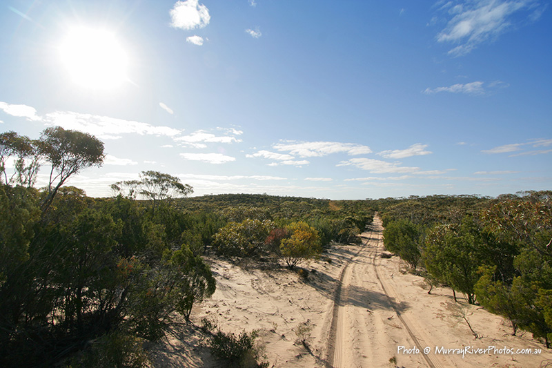
Big Desert Wilderness

Views across Big Desert Wilderness 4WD
Flora and Fauna
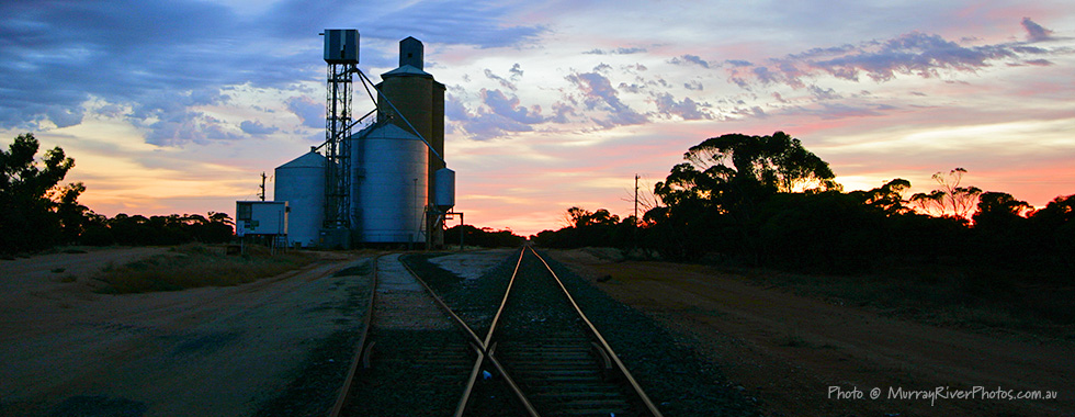
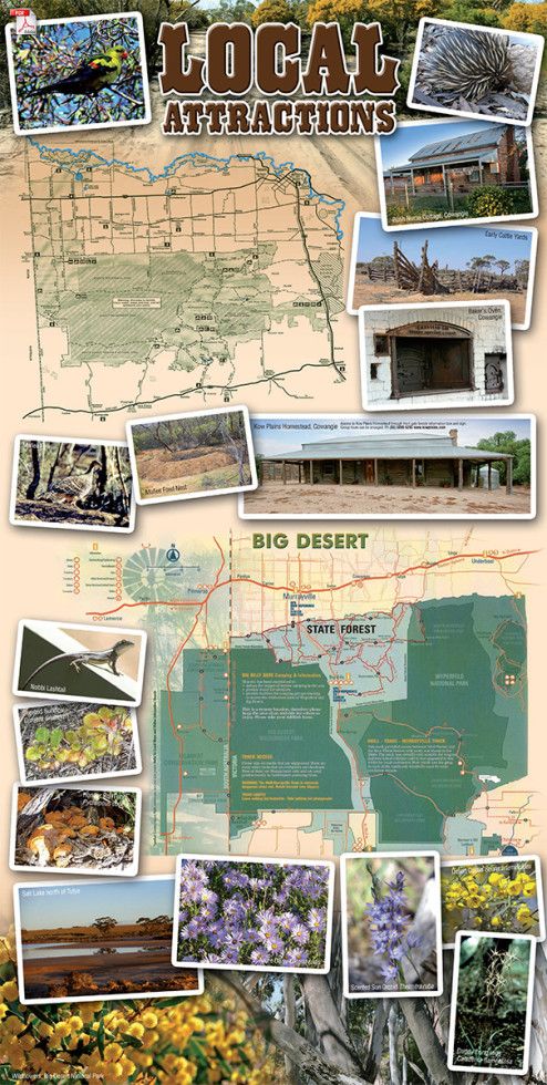
Mallee Towns
Tourism
Clubs Welcome
Books for Sale
Family Tree Research